Terrain-based cruxes

Shows the hazard from the terrain, independent of the current avalanche situation.

What does the "Terrain" mode show?

The "Terrain" mode automatically identifies potential cruxes using the digital avalanche terrain maps. At these places it rates the terrain in terms of avalanche triggering and the consequences of being caught. The method is described in more detail in the paper Harvey et al. 2023 (ISSW).

"Terrain" is useful when there is no valid bulletin or when you want to compare tours regardless of the current situation. When you draw routes, it also trains your eye for recognising avalanche terrain on the map. Because the current avalanche situation is not taken into account, you assess the risk at the crux with the automatic RiskCheck or manually.
Symbols

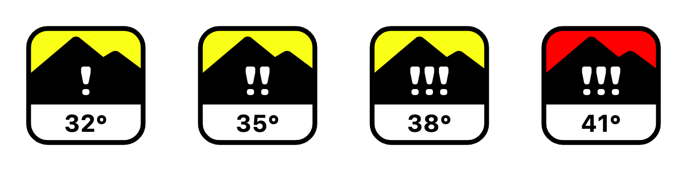
Colour and sign show the hazard from the terrain at the crux.

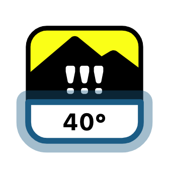
Hazard

The more exclamation marks, the higher the hazard from the terrain. Sections with !!! are pronounced avalanche terrain and require a favourable avalanche situation. A red background additionally marks the upper edge of the avalanche terrain hazard scale.

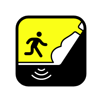
Remote triggering

The crux is at the foot of a steep slope. With an unstable snowpack, remote triggering is possible.

Danger of falling

Very steep terrain (50° and more) with a danger of falling.

Exposure to spontaneous avalanches

From considerable avalanche danger upwards, spontaneous avalanches and remote triggering are possible here. Dashed on the map.

Steepest part

The number at the bottom shows the slope angle of the steepest part of the marked section.

Crux details

Tap or click a crux on the map to see detailed information. The detail view shows which factors the crux was rated on and helps you make your own assessment.

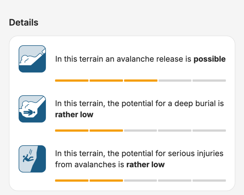
Details

The details show how the hazard is made up. The values shown are based on the same data as the avalanche terrain map.

Based on the potential release areas, it is estimated how typical an avalanche release is in this terrain.

Avalanche simulations are used to estimate how large the potential for a deep burial and for serious injuries is. The simulations show, for example, where avalanche snow piles up deeply in terrain traps such as hollows and gullies, and where an avalanche flows over fall terrain such as cliff bands.

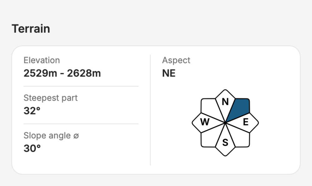
Terrain

Elevation, aspect and slope angle are calculated from the digital elevation model for the marked section. They help you compare the crux with the avalanche bulletin and assess it yourself.