Automatic RiskCheck

The automatic RiskCheck assesses the risk at cruxes based on the terrain and the current avalanche bulletin.

What is the automatic RiskCheck?

The RiskCheck is a concept for assessing avalanche risk at cruxes. The risk results from the danger, meaning the probability of an avalanche being triggered, and the consequences, meaning the effects of an avalanche. Risk-reducing measures can be taken into account in the assessment.

White Risk identifies the cruxes in the same way as for terrain-based cruxes. The automatic RiskCheck adds the current avalanche bulletin: it assesses the danger from the bulletin and the terrain, and estimates the consequences from the terrain at the crux. The method is described in more detail in the paper Harvey et al. 2024 (ISSW).

The result is a rough assessment for planning. The automatic RiskCheck does not know the actual conditions on the individual slope, such as alarm signs, tracks or the snowpack. On the individual slope, you therefore make the final assessment of danger and consequences yourself and consider risk-reducing measures.
Symbols

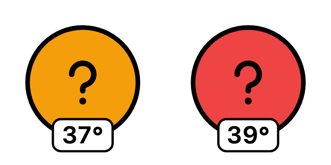
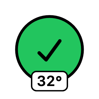
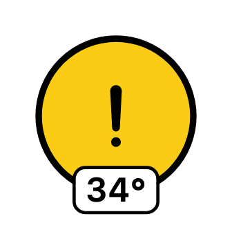
Colour and sign show the risk at the crux.

Low risk

The crux can be passed, as long as the measures are respected.

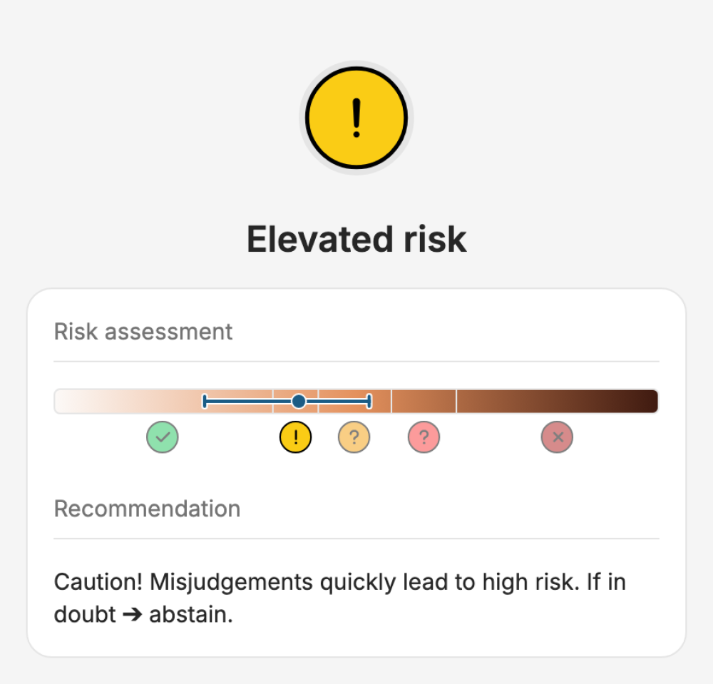
Elevated risk

Caution: False evaluation quickly leads to a high risk. If uncertain ➔ stay out.

Elevated risk

Detailed assessment necessary; otherwise not recommended. Effective additional precautionary measures are recommended.

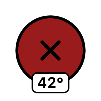
High risk

Not recommended. Choose an alternative.

Special cases and additional information are marked with specific icons.

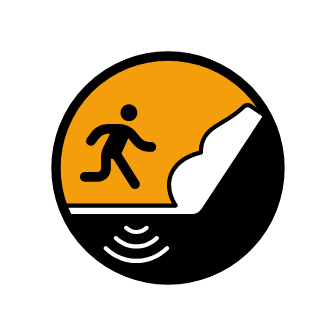
Remote triggering

The crux is at the foot of a steep slope where remote triggering is possible. The colour shows the risk.

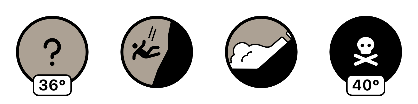
Not rated

No risk calculation possible, for example without a bulletin, with a danger of falling, spontaneous avalanches or very high avalanche danger (level 5).

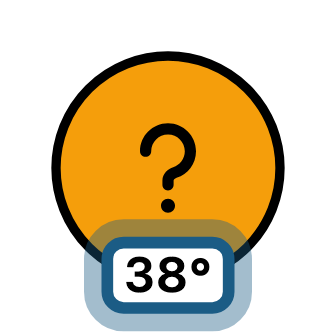
Steepest part

The number at the bottom shows the slope angle of the steepest part of the marked section.

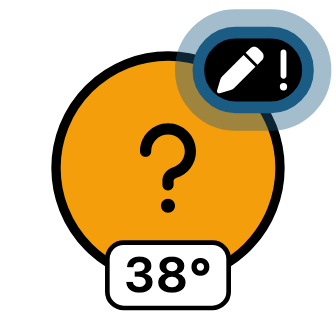
Own assessment

The pen at the top right shows that the risk was calculated with your own bulletin or that manual additions were entered.

Crux details

Tap or click a crux on the map to see detailed information. The detail view shows which factors the crux was rated on and helps you make your own assessment.

Risk

The calculated risk results from the danger and the consequences at the crux. Both can only be estimated, so the automatic RiskCheck works with probabilities instead of a fixed value. The bar shows how uncertain the risk assessment is. If it is long, for example because the terrain varies a lot within the crux, your own assessment on site is particularly important.

Details

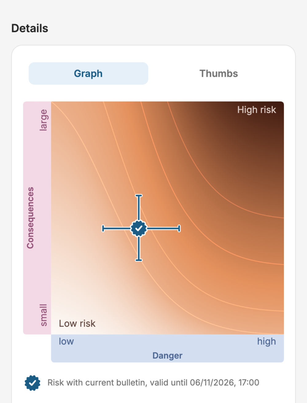
The details show how the risk is made up and what influences the values.

The automatic RiskCheck estimates danger and consequences separately:

  • Danger, the probability of an avalanche release: the starting point is the danger level from the relevant bulletin. It is refined with snow profile data for this danger level and with the triggering potential of the terrain.
  • Consequences, the outcome of being caught: they are based on avalanche simulations that show the potential for falls and deep burial.

The risk combines both. The fine lines connect points of equal risk: high danger with small consequences can result in a similar risk to low danger with large consequences.

The thumbs show the same assessment in the form you also use in the terrain without the app. The left thumb stands for the danger, the right one for the consequences: up for low or small, down for high or large. If the thumbs point down on average, staying out is recommended. If the average is horizontal, a more detailed assessment and effective measures are needed.

Compare your own assessment with the automatic one. This way you practise the assessment for places where you have to decide yourself on the tour.

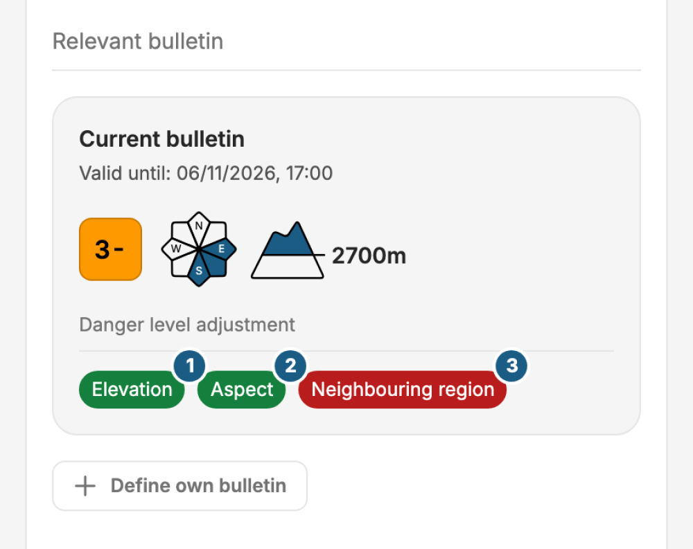
Relevant bulletin

The bulletin describes the danger for a whole region and states the elevations and aspects it applies to. The crux, however, lies at a specific location. That is why the automatic RiskCheck adjusts the danger level to its position. In the example, all three adjustments are active:

  1. Elevation: If the crux lies outside the elevation band named in the bulletin, the danger level decreases depending on the distance.
  2. Aspect: If it lies outside the aspects named, the danger level decreases depending on the deviation.
  3. Neighbouring region: If it lies close to a region with a higher danger level, the danger level increases, because conditions do not change abruptly at region boundaries.

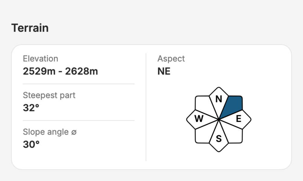
Terrain

Elevation, aspect and slope angle are calculated from the digital elevation model for the marked section. The automatic RiskCheck uses elevation and aspect to apply the bulletin to the crux. For you, the values help with your own assessment.

Own bulletin

With "Define own bulletin" you set the danger level, aspects and elevation yourself, for example when no valid bulletin is available. It applies to this tour and is saved.

Manual additions (web)

On the web, you can enter alarm signs and a slope assessment and see how the risk changes. Additions only apply to the selected crux.